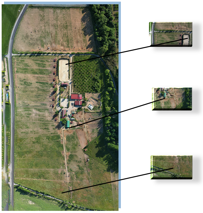
An orthoimage, or orthophoto, is an image obtained by processing an aerial photograph whose geometry has been corrected so that each point can be superimposed on its corresponding flat image..
In other words, an orthophoto appears to be taken vertically from all the points it depicts.
Like a puzzle, several hundred square meters on the same representation…
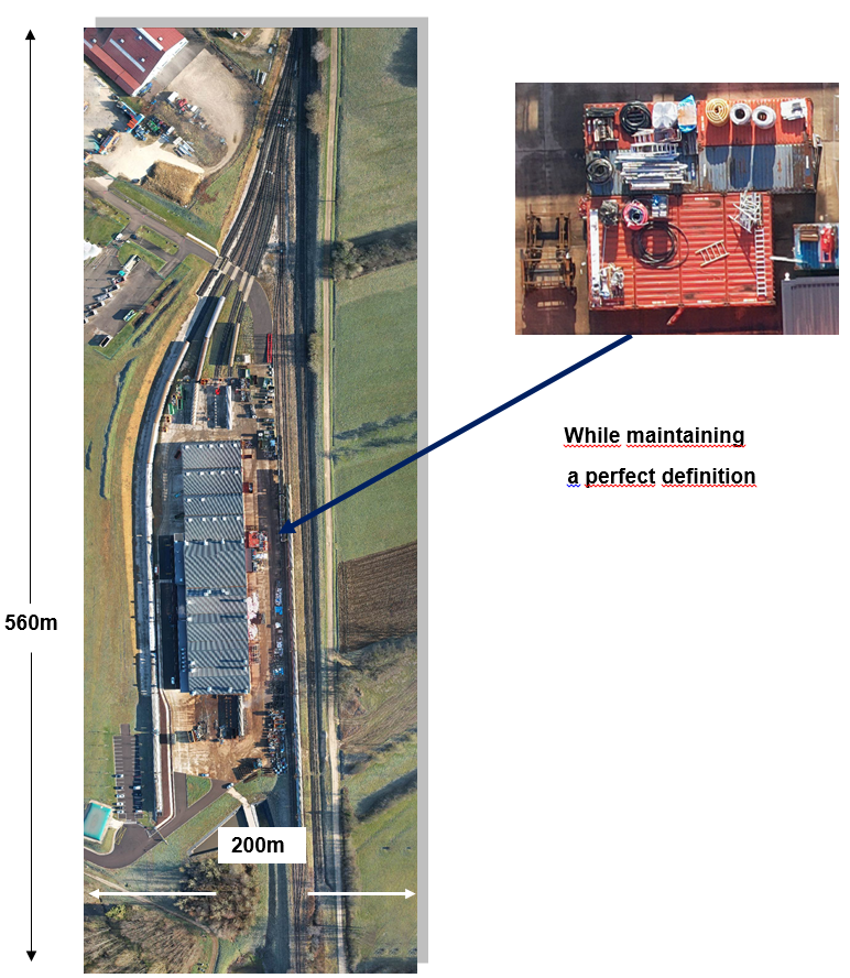
If you wish to represent your entire property, a facade, a building… in a single photo, Mission Colibri offers you this service.
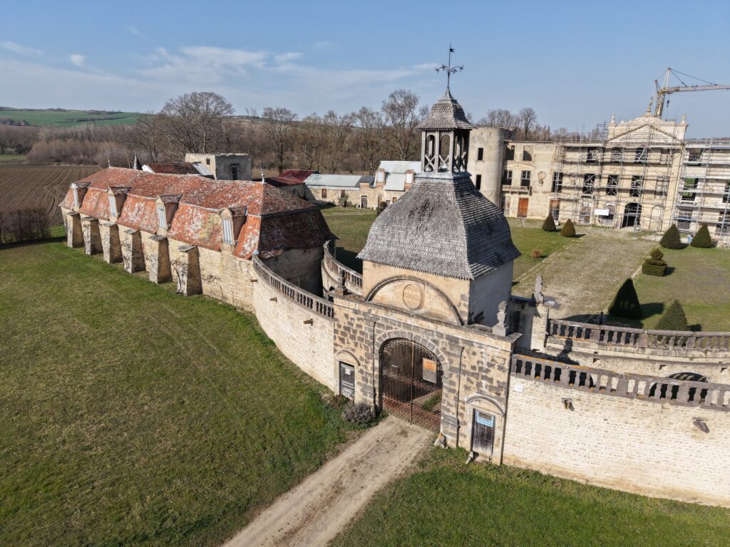
A new employee ! From your office, you can easily explain to him where he is and where he needs to go…!
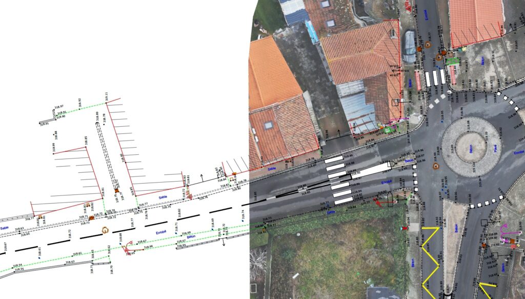
Also, for the purpose of supplementing a surveyor’s file, you combine the precise work of the geometrician in the field with reality through images, and the visualization is complete!
Mission Colibri offers 3D model creation services.
For better visualization of locations without having to visit them or send the project to a 3D printer!
Above The photo reality – The 3D view Below

